 vesseltracker.com
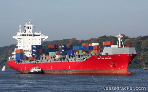
Vessel MARINA ONE IMO: 9360269, MMSI: 636025358 Container Ship
UTC, 10.20333, 107.71167, course: -1, speed: 12
UTC, 9.90500, 107.29167, course: -1, speed: 12
2026-03-04 07:35:46 UTC, 9.71819, 107.04658, course: 227, speed: 11.7
Live AIS position:
UTC. 36 nm SE of Cai Cui Port),
updated 2026-03-04 07:35:46 UTC.
Find the position of the vessel MARINA ONE on the map. The latter are known coordinates and path.
marine traffic ship tracker show on live map
The current position of vessel MARINA ONE is 9.71819 lat / 107.04658 lng. Updated: 2026-03-04 07:35:46 UTCCurrently sailing under the flag of Liberia
Details:
Last coordinates of the vessel:
UTC, 10.44033, 108.07613, course: 248, speed: 11.8UTC, 10.20333, 107.71167, course: -1, speed: 12
UTC, 9.90500, 107.29167, course: -1, speed: 12
2026-03-04 07:35:46 UTC, 9.71819, 107.04658, course: 227, speed: 11.7